Category: NEWS

  • Launch of Project on modernising VET for sustainable tourism by leveraging XR technologies

    Launch of Project on modernising VET for sustainable tourism by leveraging XR technologies

    As a new Centre of Vocational Excellence (CoVE), the TourXpeRience project aims to usher in a new era of technological know-how for tourism students, tourism schools, and tourism VET providers. In order to equip these students and educators with skills that enable them to meet the future of labour and tourism head-on, TourXpeRience mainly focusses on the potential of Extended (XR) technologies, and how these technologies can be used to contribute towards sustainability.

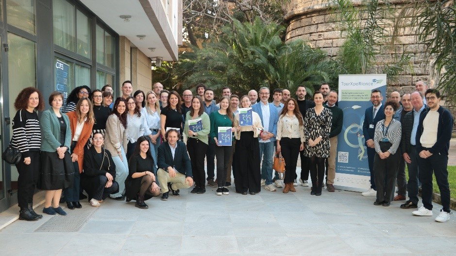
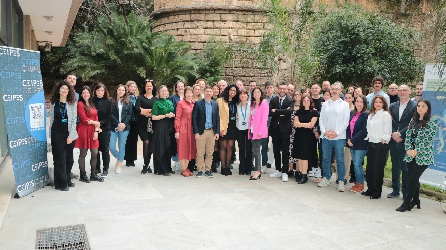
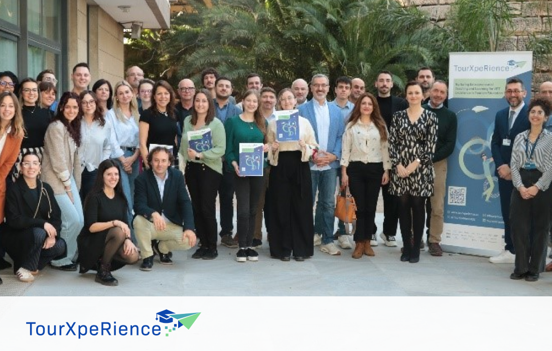
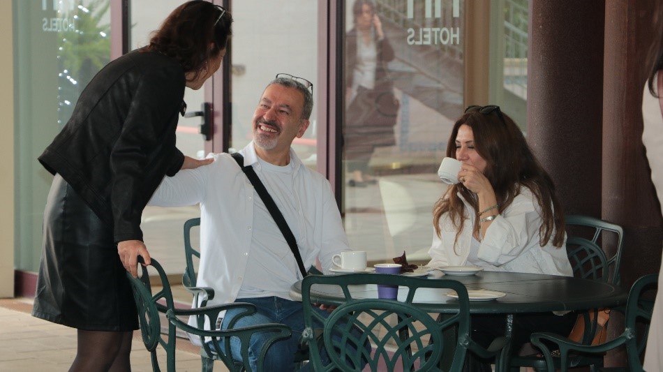
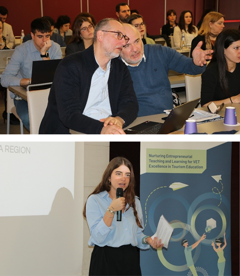
    The project with the title “TourXpeRience: Nurturing Entrepreneurial Teaching and Learning for VET Excellence in Tourism Education” funded by the European Commission through the framework programme Erasmus+ in the course of the call “Centres of Vocational Excellence” (ERASMUS-EDU-2024-PEX-COVE) was successfully kicked off in Palermo in March 2025. The main objective of the project is to refresh and modernise Vocational Education and Training (VET) in the tourism sector by employing Extended Reality (XR) technology.

    The project is coordinated by the International Centre for the Promotion of Education and Development (CEIPES ETS) located in Sicily, Italy, and the consortium comprises 21 European partners in total: CEIPES ETS; Marco Polo Technical and Economic Institute for Tourism; Learnable; ITS Culture, Tourism, and New Technologies Marche; Technological Center for Furniture and Wood of the Region of Murcia; Technical University of Cartagena; Regional Training and Employment Service of the Region of Murcia; Karlsruhe Institute of Technology; Datey Eyrich; Regional Development Agency for Podravje – Maribor; Vocational College for Hospitality and Tourism Maribor; Łukasiewicz Research Network – Institute for Sustainable Technologies; SHINE 2Europe; Radom Chamber of Commerce and Industry; Industrial and Business Education & Training Institute – SEV Hellenic Federation of Enterprises; Institute of Greek Tourism Confederation; Wittenborg University of Applied Sciences; Porto Hotel and Tourism School; Warsaw University of Life Sciences; E.A.C.E. European Academy of Certified Education; and INTERSPREAD.

    Over the course of 48 months (February 2025 to January 2029), the 21 partners will invest 972 person months to work towards:

    • Integrating XR technology into the curricula of VET students, and creating immersive hands-on learning opportunities to foster entrepreneurial know-how, green skills and sustainable tourism practices.
    • Providing professional development opportunities to VET teachers and educators, bolstering their digital competencies (especially on XR) through trainings sessions, workshops, and webinars.
    • Organising international mobilities for VET students and teachers to allow for cross-border exchanges of best practices, perspectives, and methodologies & joint initiatives on XR and green tourism.
    • Fostering entrepreneurial mindsets and innovative eco-friendly ventures through integrating sustainable development and environmental protection practices, leading to a greener tourist industry.

    Building on a human-centred approach, TourXpeRience’s main activities are divided into three clusters. Cluster 1 is focussed on training both learners and teachers in labour market-relevant skills and developing curricula and training materials. Cluster 2 is focussed on business-education partnerships and will be in charge of VET internationalisation, attractivity, and mobilities. And finally, Cluster 3 operates on the highest level of bureaucracy, overseeing effective VET governance and proper usage of national and EU financial instruments. In addition to the activities listed above, TourXpeRience will also develop an interactive learning platform and toolkit with 26 didactic XR exercises, as well as workshops centred on EU frameworks (such as GreenComp, EntreComp, LifeComp, etc.).

    A total of 11 related work packages (WPs) will be implemented by the project consortium, and INTERSPREAD leads WP9 – Dissemination and Exploitation. As in previous projects, INTERSPREAD’s longstanding experience will be leveraged in order to ensure successful Dissemination, Exploitation, and Communication (DEC) of project results. Through a broad dissemination strategy, TourXpeRience will connect the project with relevant stakeholders and decision-makers at local, national, and European levels, facilitated by a cohesive visual identity and impactful online presence. Last but not least, INTERSPREAD’s coordination of Dissemination and Exploitation will foster a sustainable exchange of ideas and outcomes, supporting the utilization and long-term impact of results.
    https://www.tourxperience.eu

    https://www.ceipes.org

    Keywords

    Tourism, vocational education and training, VET, XR, extended reality, AR, VR, MR, virtual reality, technology, sustainability, sustainable tourism, green tourism, Erasmus+, Centres of Vocational Excellence, COVE

  • Innovative project will revolutionise aquatic environmental monitoring

    Innovative project will revolutionise aquatic environmental monitoring

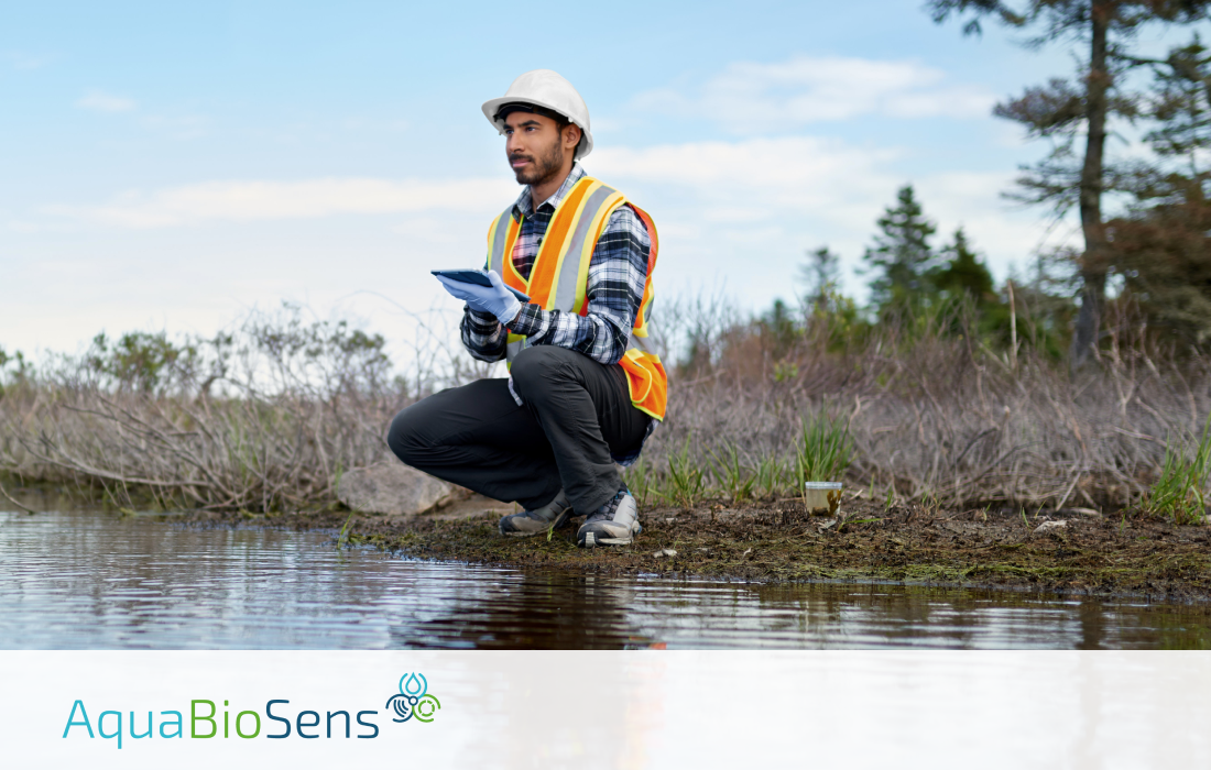
    Our planet’s water is essential for the production of oxygen, food, and drinking water. Yet, anthropogenic pollution such as sewage, agricultural or industrial waste directly impact freshwaters and coastal marine waters, leading to long-lasting ecological and economic consequences. To address this, AquaBioSens will develop innovative handheld devices that enable near real-time detection of potential hazards and pollution, ensuring prompt action to protect environmental and public health.

    Water covers approximately three-quarters of our planet’s surface and is critical for the production of oxygen, food, and drinking water. However, freshwater and coastal marine waters suffer from human-made pollution that can originate from industry, wastewater, agriculture, or mining. This can not only have detrimental long-term impacts on the environment but can also pose risks to the health of individuals who consume, bathe in, or use this water for recreational activities.

    For this reason, AquaBioSens was funded by the European Commission as part of the Horizon Europe framework programme, for the call “Biosensors and user-friendly diagnostic tools for environmental services (HORIZON-CL6-2023-ZEROPOLLUTION-01-6)”. AquaBioSens aims to develop new handheld devices to measure aquatic contaminants of emerging concern, heavy metals, and microbial biohazards. The new generation of devices is set to revolutionize water quality monitoring by offering greater affordability as well as on-site monitoring capabilities. Unlike current alternatives, these handheld devices will provide near real-time measurement results without the need for transporting samples to laboratories. Therefore, immediate detection of pollution, even in cases of sudden short-term changes in water quality, becomes possible, allowing swift actions to protect the environment and public health. Furthermore, these user-friendly devices will enable widespread participation in water quality monitoring, empowering concerned citizens and recreational athletes to easily identify contaminated water themselves. Hence, AquaBioSens will make water monitoring more efficient and widely accessible. Additionally, the project will support the EU Mission to “Restore our ocean and waters by 2030,” the Destination “Clean Environment and Zero Pollution,” as well as the Water Framework Directive, and the Marine Strategy Framework Directive.

    AquaBioSens objectives

    Over a period of 36 months, the AquaBioSens project aims to achieve the following objectives:

    • DEVELOP a hand-held device for fast and sensitive on-site detection of organic contaminants using antibody assays and surface acoustic wave sensing.
    • DEVELOP a hand-held fluorescence analyzer with an optical or imaging method and an RNA extraction device for fast and sensitive measurement of eRNA for toxin and biotic pollution.
    • DEVELOP a device for in vitro biosensing of metal pollutants using fish gill epithelia and measuring cell stress (trans-epithelial resistance).
    • DEVELOP a device for in vitro biosensing of heavy metals using diatoms with fluorescent proteins fused to metal-responsive gene elements.
    • PERFORM a comprehensive evaluation of the new devices against standard methods, ensuring quality, accuracy, and sensitivity.
    • CREATE a real-time digital FAIR data feed delivering data into repositories and a dashboard, ensuring data interoperability and transparency.
    • CONDUCT field testing and demonstration to stakeholders and end-users, evaluating the new technologies for water quality monitoring and surveillance.
    • COMPILE user documentation and demonstrate methods and devices to stakeholders/end-users, implementing end-user-led design for project uptake and exploitation.

    Outcomes of the AquaBioSens project

    AquaBioSens focuses on developing handheld biosensor-based tools that can be used on-site. By enabling on-site analysis, AquaBioSens significantly improves early detection and intervention for water pollution.

    The project will develop three types of devices based on molecular, immunological, and whole-cell biosensing. These devices will have the capability to detect emerging contaminants such as endocrine disruptors, pharmaceuticals, heavy metals, and harmful microorganisms.

    The devices will be designed for ease of use, allowing non-specialists to utilise them and participate in water monitoring. Furthermore, real-time digital data processing and reporting on a live dashboard will enhance public engagement through citizen science events.

    AquaBioSens will thus bring about a paradigm shift in water monitoring, contributing to pollution management, protection of drinking water, and increased environmental sustainability through bio-based monitoring. The successful demonstration of these devices will lay the foundation for future commercialization efforts.

    Consortium members

    AquaBioSens will be realized by a consortium of eight partners from six countries including Greece, Ireland, Denmark, Italy, Austria, and the United Kingdom. The consortium comprises high-level skills, knowledge and experience in bioanalytical sciences (molecular biology, analytical chemistry, biophysics, cell biology, genetic engineering), environmental biosciences (oceanography, aquatic microbiology, ecology, ecotoxicology), engineering (microfluidics, microsystems engineering, electrical engineering, optics), computer sciences (digital data processing, data best practice, and software development) and communication, dissemination and exploitation. The project is coordinated by the Foundation of Research and Technology Hellas (Greece) and the partners, apart from INTERSPREAD GmbH (Austria), include Dublin City University (Ireland), Syddansk University (Denmark), BIOPIX DNA TECHNOLOGY S.A. (Greece), ETT S.p.A. (Italy), University of Southampton (United Kingdom) and the National Oceanography Centre (United Kingdom).

    INTERSPREAD contributes to the AquaBioSens project by leading the dissemination, exploitation and communication (DEC) activities focused on generating a deep impact of the results generated in the course of the project as well as attracting the interest of the main stakeholders, raising awareness, and engaging them to participate in project activities.

    AquaBioSens project website: https://www.aquabiosens.eu/

    AquaBioSens X account: https://x.com/aquabiosens

    AquaBioSens LinkedIn page: https://www.linkedin.com/company/aquabiosens/

    AquaBioSens YouTube channel: https://www.youtube.com/@AquaBioSensProject

    Keywords

    water quality, pollution detection, freshwater, coastal marine waters, anthropogenic inputs, sewage, agricultural waste, runoff, industrial waste, mining waste, ecological impacts, economic impacts, environmental health, public health, handheld devices, real-time detection, hazards, water pollution, innovation

  • Internet platform with open map and traffic app developed

    Internet platform with open map and traffic app developed

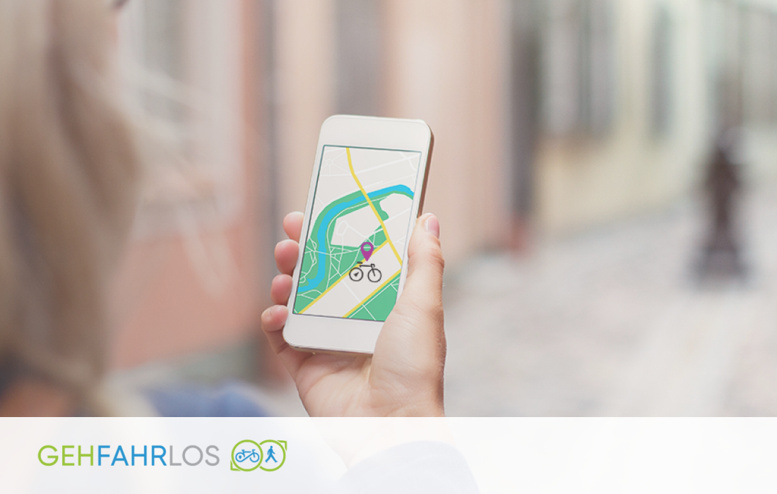
    Within the GEH.FAHR.LOS project, an app was developed to identify risks and hazards in everyday traffic. The solution was specifically tailored towards pedestrians and cyclists, who are among the most vulnerable people on the road. Via the use of maps, open data and statistics – combined with an innovative tagging functionality – the app is a valuable tool to make everyday road traffic safer.

    GEH.FAHR.LOS offers all urban road users, with special consideration of cyclists and pedestrians, the opportunity to actively draw attention to dangers and risks in everyday traffic. Without the hassle of filling out complex forms, danger spots can be quickly and easily marked on smartphones onto internet-based maps. The main goals of the project are:

    • Timely and effective tagging of newly emerging hazards
    • Direct communication of road users with authorities
    • Identification of current hazard hotspots by public authorities
    • Information through Open Data and statistics for a holistic hazard overview
    • Obtain tags as Open Data to design other safety-related applications

    The GEH.FAHR.LOS platform is available both online and as a mobile app to enable tagging of hazards in road traffic and, if necessary, documenting them by photo. In addition, public institutions and authorities can aggregate and explore information via the online platform to make data-driven decisions for improving safety, so that hazards are eliminated quickly and effectively. The specific project outcomes are:

    Analysis of crowd-tagging apps and requirements of different users

    Applications were analysed for their relevance in terms of market, content and technology. Based on that, best-practice apps were identified in consideration of registration process, feedback and visualisation. Furthermore, a requirement analysis was carried out, based on interviews with municipalities, administrations and end-users.

    User documentation and tags as open data for users

    The GEH.FAHR.LOS platform is available online as a web-based platform as well as a mobile app. The documentation is open and therefore accessible to other developers, who want to use the result after the end of the project. The tags are made available as open data.

    Mobile tagging app & web platform www.gehfahrlos.at

    The integration of maps and open data forms a powerful tool for enhancing urban safety through tagging. This functionality allows hazards to be identified quickly—without the need for complex forms—easily, using just a mobile phone camera, and safely, by directly visualizing risks for decision-makers.

    Networking activities and public relations

    Efficient public relations work was important in order to guarantee reach on different communication channels (Twitter, blog section, visiting events, networking events, distributing information material). Open interfaces enable the integration of data into third-party applications.

    GEH.FAHR.LOS Projectwebsite https://www.gehfahrlos.com/

    Keywords

    Urban Transport, road traffic, tagging – app, open map, hazards in road traffic

  • Revolutionizing Urban Mobility with Safety, Sustainability and Innovation

    Revolutionizing Urban Mobility with Safety, Sustainability and Innovation

    The GEH.FAHR.LOS project is driving safer, smarter, and more sustainable urban mobility. Focused on protecting vulnerable road users like pedestrians and cyclists, it empowers citizens and decision-makers with real-time data and user insights. Through an innovative app, GEH.FAHR.LOS aims to reduce risks and promote greener, safer cities.

    In a world that is increasingly focusing on sustainability, safety, and innovation, the GEH.FAHR.LOS project is at the forefront of transforming how we think about transportation. Rooted in the values of safety, responsibility, and cutting-edge technology, GEH.FAHR.LOS aims to drive forward a mobility revolution that doesn’t just focus on getting people from point A to point B but does so in a way that respects the planet, protects lives, and enhances the way we experience travel.

    The GEH.FAHR.LOS project therefore aims to develop a web-based and mobile app that enables the fast and effective detection of hazards in urban traffic. Particular attention is paid to the most vulnerable road users such as pedestrians and cyclists. The app combines maps, open data, accident statistics and user-generated tagging to provide a comprehensive tool for safer routes in the city. It also provides decision support for public institutions.

    GEH.FAHR.LOS objectives

    Over a period of 12 months, the GEH.FAHR.LOS project aims to achieve following objectives:

    • USER TAGGING: Effective recording of hazards and defects by users with a mobile app.
    • ENTSCHEIDUNGSHILFE: Notifications about hazards for cyclists and pedestrians for decision-makers.
    • DATENVISUALISIERUNG: Intuitive dashboards create awareness of hazards.
    • DATA HUB: Comprehensive catalogue of maps, accident statistics and user tags.
    • OPEN MAP LAYER: Display of layers for specific risks and danger spots.
    • OFFENE SCHNITTSTELLEN: Integration of the data in third-party applications.

    Safety as a priority

    At the heart of GEH.FAHR.LOS is a commitment to safety. Whether it’s protecting passengers, pedestrians, or other road users, the project places an immense focus on reducing risks and minimizing accidents. Through advanced driver-assistance systems (ADAS), the project aims to create a world where accidents caused by human error become a thing of the past. By incorporating automated and autonomous driving systems, GEH.FAHR.LOS aims to reduce the dangers associated with distracted or impaired driving, ensuring that every journey is as safe as possible.

    Sustainable Mobility Solutions

    With climate change at the forefront of global challenges, GEH.FAHR.LOS is not just about safety—it’s also about being responsible stewards of the environment. The project emphasizes the importance of sustainable transport solutions, including electric vehicles (EVs), carbon-neutral driving technologies, and smart city infrastructure. GEH.FAHR.LOS envisions a transportation ecosystem where emissions are reduced, energy consumption is optimized, and sustainability is woven into the fabric of daily mobility.

    The integration of electric and hybrid vehicles ensures that users can contribute to reducing their carbon footprint, while supporting the shift towards a green, circular economy. Additionally, GEH.FAHR.LOS advocates for eco-friendly urban planning that supports the needs of future generations, allowing them to thrive in cleaner, safer cities.

    Learn More

    GEH.FAHR.LOS will be executed by SYNYO over the course of 12 months. To explore the GEH.FAHR.LOS project further and stay up to date with its exciting developments, visit their official website at www.gehfahrlos.com.

    GEH.FAHR.LOS project website: https://www.gehfahrlos.com/

    GEH.FAHR.LOS Twitter account: https://twitter.com/gehfahrlos

    Keywords

    Urban Mobility, Smart Cities, Road Safety, Traffic hazard detection, carbon-neutral technologies